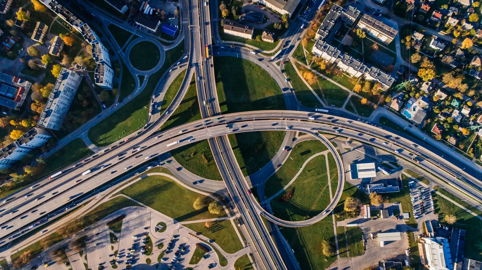
01 · Network
Where the motorways actually run
Trakia and Maritsa are the long east–west pieces drivers use toward the coast and the Turkish border. Hemus and Struma are the ones that still stop. The notes were updated on 22 September 2026.
Publisher in Sofia · reading only
Motorways, ordinary roads, motorcycles, and freight, written so you can tell a signed motorway from the road that replaces it. bgtol does not sell a vignette, a toll account, or a journey.
General car bands from the government traffic-rules page. A sign, a works zone, or a lower class of road replaces the number. Not a clearance for a particular trip.
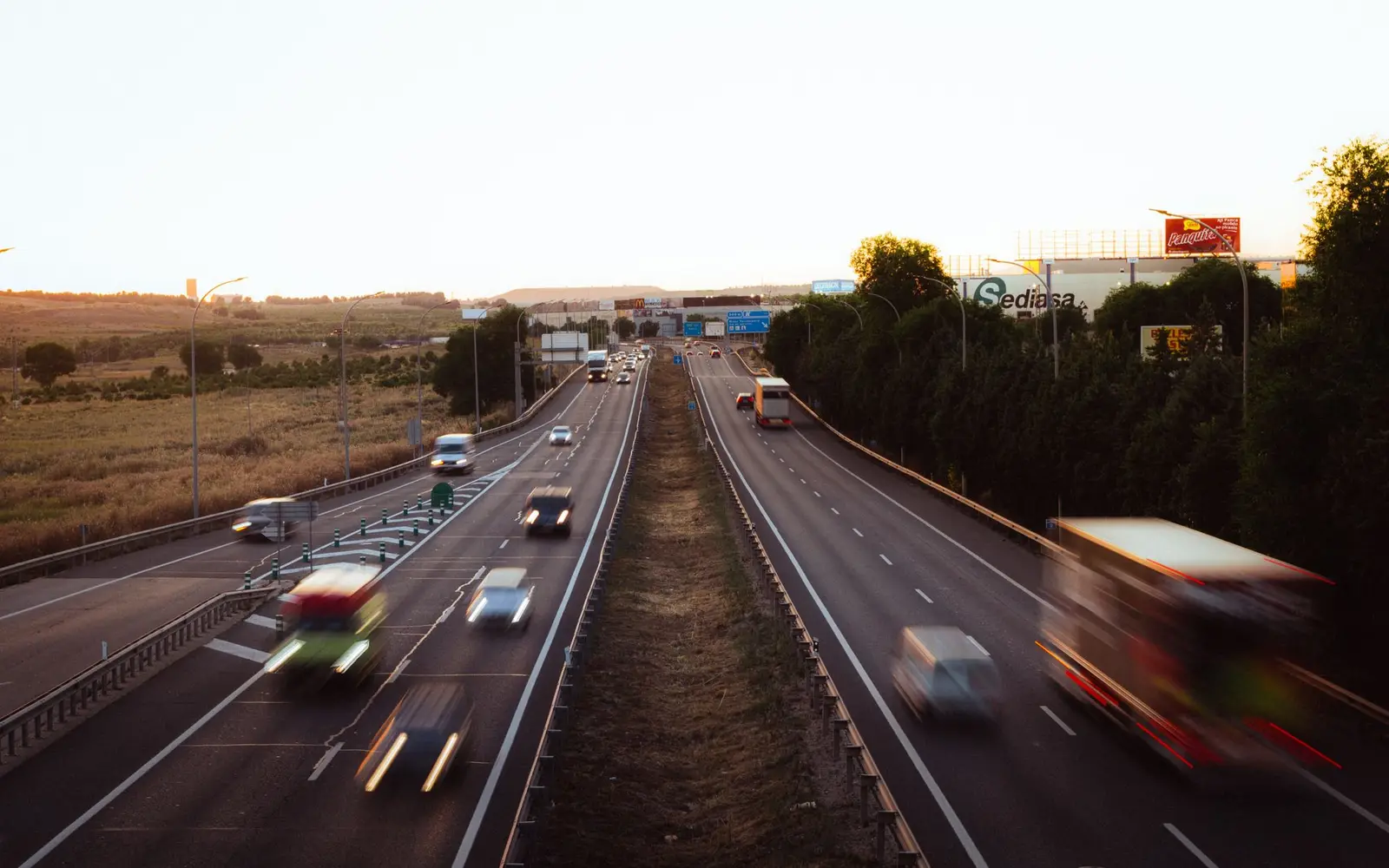
Start with the motorway network, or open the full catalogue.
How to read the map
Bulgaria’s signed motorways carry a high general limit for cars, 140 km/h, and green direction signs. Between those motorways the country is crossed by first-class and lesser roads: one carriageway, villages, at-grade junctions, and a general limit of 90 km/h outside towns unless a sign says otherwise.
That difference is the practical heart of this publication. A route from Sofia toward Varna still leaves the Hemus motorway. A route toward Greece still meets the unfinished stretch around Kresna. A route that looks fast in a mapping app can become an ordinary road without warning other than the sign that ends the motorway.
The guides below stay with that distinction. They are not a set of services, and they are not a substitute for the sign in front of you. For the charging rules in particular, read the road charges page and then the operator’s own site. bgtol cannot check a number plate.
01 · Network
Trakia and Maritsa are the long east–west pieces drivers use toward the coast and the Turkish border. Hemus and Struma are the ones that still stop. The notes were updated on 22 September 2026.
02 · Cars
Licence, registration, insurance, and the four general speed bands. Plus the moment a wide road stops being a motorway.
05 · Charges
A time-based e-vignette for lighter vehicles with at least four wheels. A distance toll above 3.5 tonnes. This page explains them. It does not sell them.
03 · Two wheels
Category A limits top out at 100 km/h on a motorway. Vehicles with fewer than four wheels are outside the vignette fee described on the government information page. The riding notes are about lane position, passes, and the cold season.

08 · Planning
Burgas, the Turkish border, Kulata, Varna, and Kalotina. Distances are planning scales, not a promise of a clear road.
07 · Signs
Then a portable sign, then the signal, then the fixed sign, then the marking. The shapes are a memory aid, not artwork issued by an authority.
06 · Season
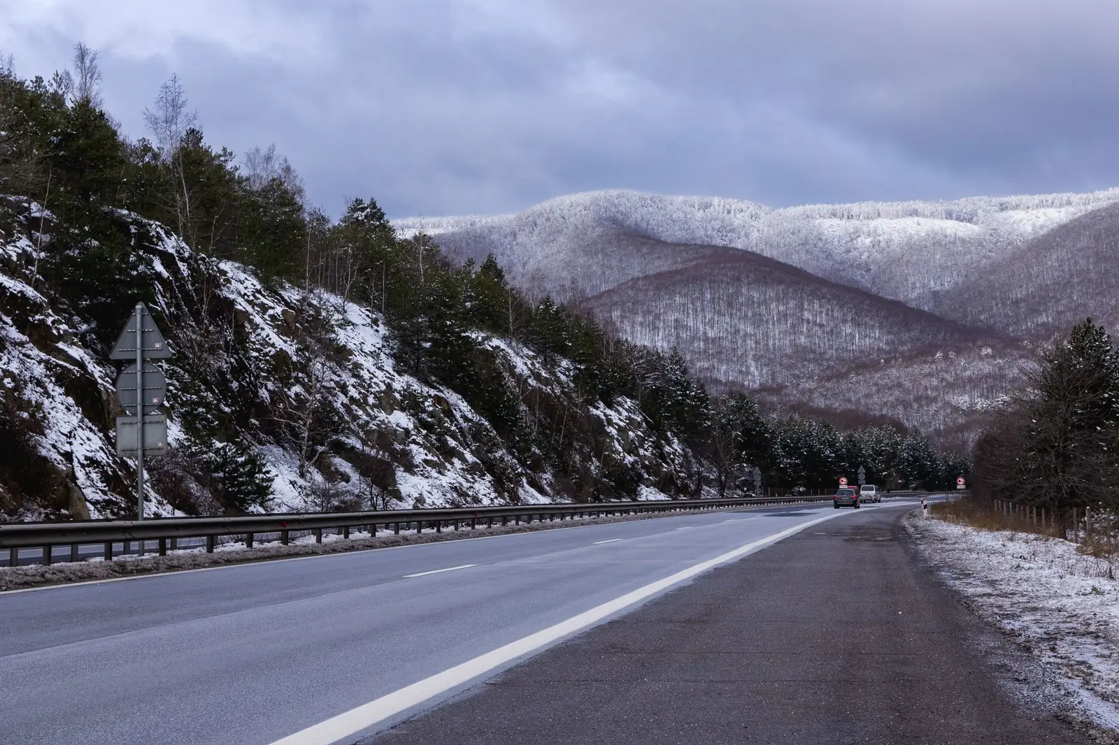
The Road Traffic Act sets a cold-season window through 1 March. Mountain passes such as Shipka, Troyan, and Petrohan can still close or slow on a particular morning. Check that morning.
Publisher
bgtol
Loven, Boulevard Simeonovsko Shose 4
1700 Sofia, Bulgaria
Speak to the publication
[email protected]
+359 879 201 010
This is not a roadside assistance number and it cannot see a toll account.
Before you rely on a page
Read the about note and the editorial policy. Updated .
Desk, not a dispatch
A mapping app draws a thick stroke for several different things. In Bulgaria that stroke can be a motorway with a general car limit of 140 km/h and green direction signs, an express road at 120, or a first-class road that still runs through villages at 90 outside the town sign and 50 inside it. The stroke does not change when the class changes. The sign at the side of the road does.
That is the habit this publication is built around. Trakia can carry a car from the Sofia side toward Burgas for most of the distance, on the order of 360 kilometres of motorway, with repairs reported along a long stretch of it. Hemus cannot do the same job toward Varna: the motorway is still interrupted, and the ordinary road in the gap sets the pace. Struma toward Kulata meets the same kind of interruption in the Kresna gorge, where the companion road is I-1, not a motorway. Maritsa runs from the Chirpan and Orizovo area toward Kapitan Andreevo. Europe runs toward Kalotina. Cherno More, between Varna and Burgas, is a plan, and the road that exists on that coast is I-9.
Charges sit on top of that geography and do not follow the same line. A car, and other vehicles up to 3.5 tonnes with at least four wheels, are in the time-based e-vignette. A motorcycle, with fewer than four wheels, is outside that fee on the government description. A vehicle whose technically permissible mass is over 3.5 tonnes is in the distance toll, whether or not it is fully loaded today. A vignette is not insurance, and a route that looks short can still cross charged road.
Use the pages as a desk before you leave, then let the sign, the weather, and the current text of the rules finish the job. bgtol cannot see a plate, sell a period, or tell you that a pass is open this morning.
Planning scales, not a timetable
| From Sofia toward | Scale | What usually sets the time |
|---|---|---|
| Burgas | about 360–390 km | Trakia, plus whatever works are signed on the day |
| Kapitan Andreevo | about 300 km | Trakia, then Maritsa, then the border itself |
| Kulata | often under 200 km | The gorge on I-1, not the motorway kilometres |
| Varna | often over 400 km | The Hemus gap, so most of a day |
| Kalotina | a short run, about an hour of driving | Then the border, which is a separate queue |
The longer notes are in planning a drive and the network page. Winter changes the mountain approaches even when the motorway number does not: see winter roads.